RadicalCartography

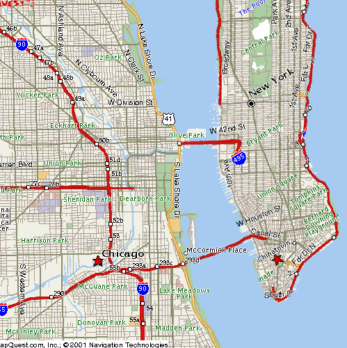
I found this This via Z. Korb, and it's about the most fun thing I've seen in a long time. I sat around playing with it for like an hour. It a collection of strange maps. Ryan, you'll enjoy this. I especially like the subway maps. This is one of all of the North American urban rail lines.
These are all to scale too. Notice how small the New York lines are as compared to Dallas and some of the other western cities. You can really see how sprawl effects public transit as you move west across the map.
I also like the one that moves through time and shows how college friends disperse across the country over time. It was a really interesting visual.


1 comments:
That's a cool site. I'll have to look at it more when I have time.
Post a Comment